

Dataset Viewer
The dataset viewer is not available for this dataset.
Unexpected token '<', "<html>
<h"... is not valid JSON
Need help to make the dataset viewer work? Make sure to review how to configure the dataset viewer, and open a discussion for direct support.
CITYLID: A large-scale categorized aerial Lidar dataset for street-level research
This repository is dedicated to providing categorized aerial Lidar datasets along with the methodology for data preparation. Details regarding data preparation and usage are given in the GitHub Repository
Dataset Description
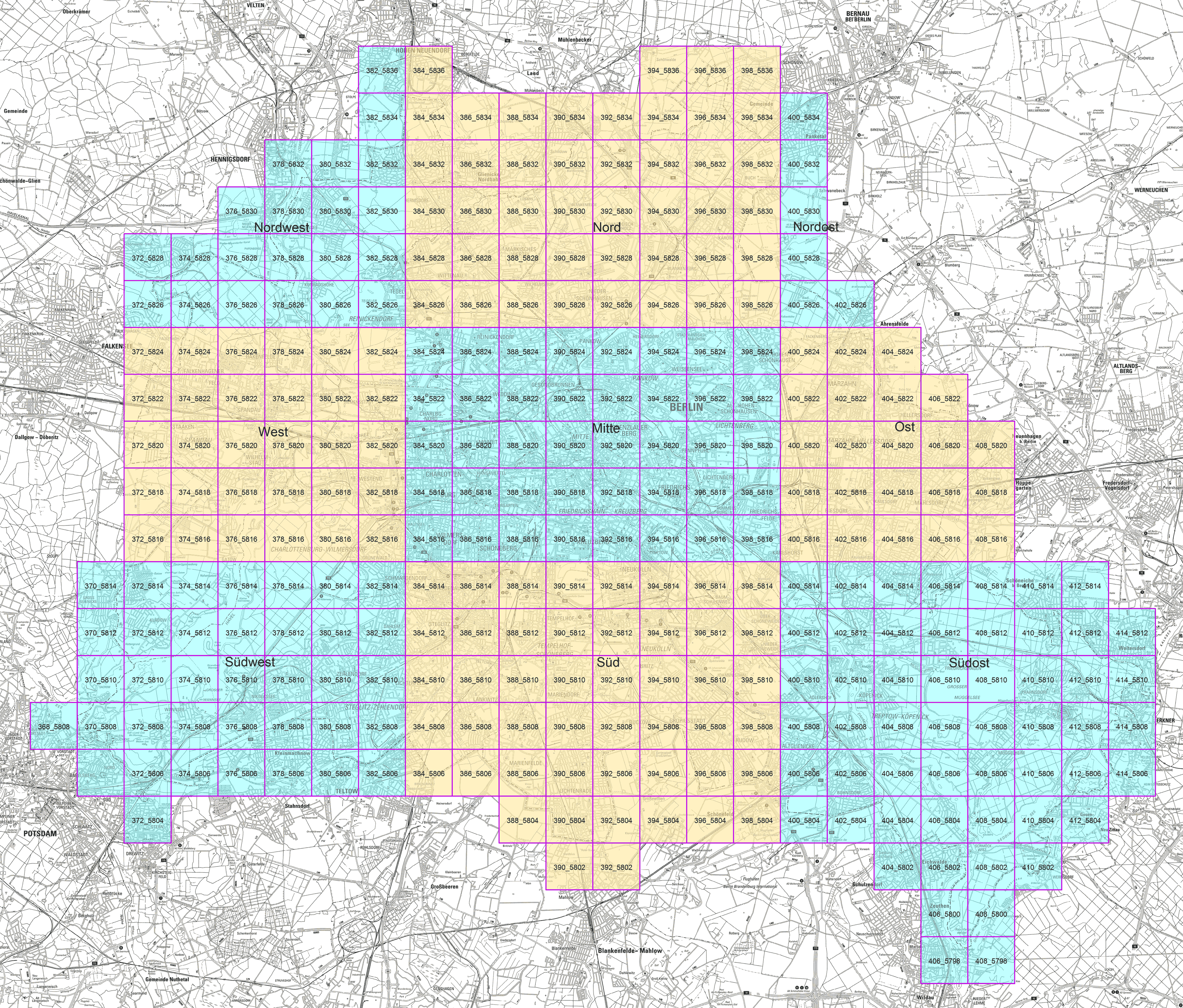
The dataset covers the entire state of Berlin and is divided into 1060 tiles of 1 sq. km each. The tiles are further grouped under 9 regions. The dataset comprises (a) Categorized Point clouds and (b) Raster image files providing solar radiation maps. The details regarding the data preparation can be found in GitHub Repository.
Citation
- Downloads last month
- 33